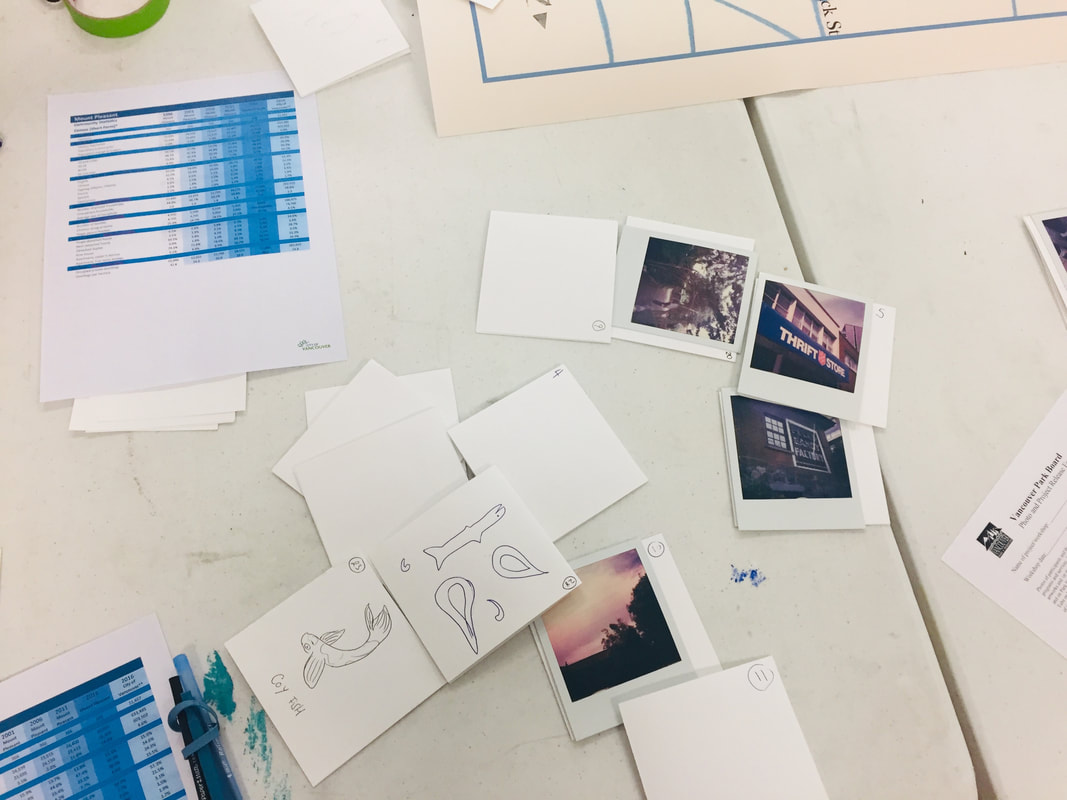
 Our final creative neighbourhood mapping workshop took place with participation from Mt Pleasant Community Centre's Youth Inspire Program. Together we added many new landmarks to our growing map, including a universally missed swimming pool which used to exist nearby in Mt Pleasant Park, local schools, a skate park, and a 7-Eleven which was once a slurpee hot-spot before it closed and was replaced by a new business. 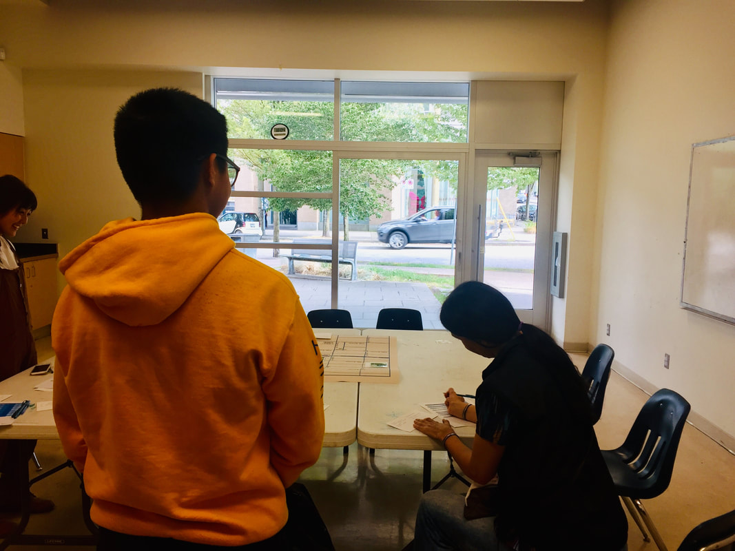 As conversation turned to changes in the neighbourhood, youth programmer Diana was inspired to print out and bring in a graph showing the changing demographic of Mt Pleasant residents over the last 30 years. We noticed a steep incline in the average income of Mt Pleasant residents, as well as a drop in families with children, changes which we found intriguing and troubling. 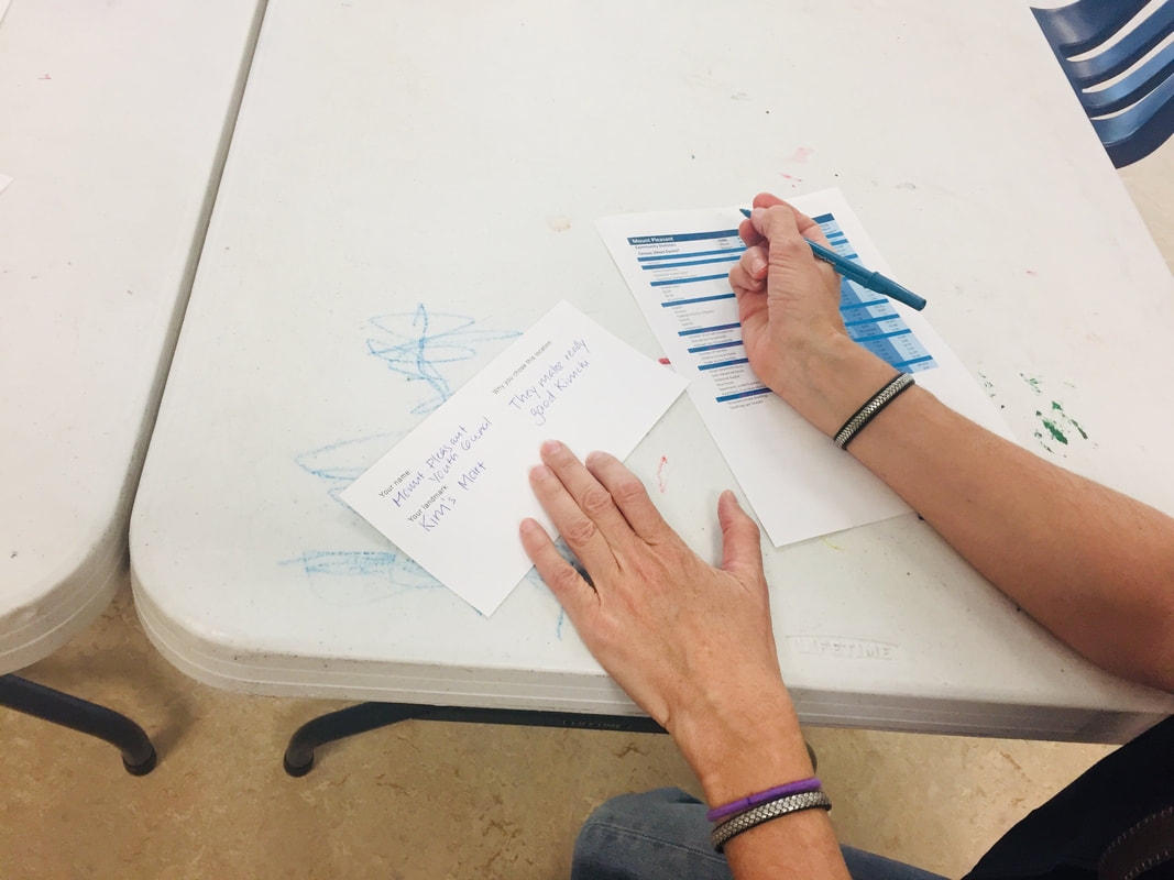 Next up, we will compile all of the many diverse landmarks which our amazing participants have created and install the finished map in the lobby of the centre for community members to check out! 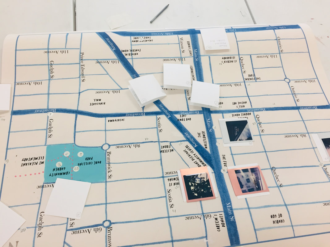 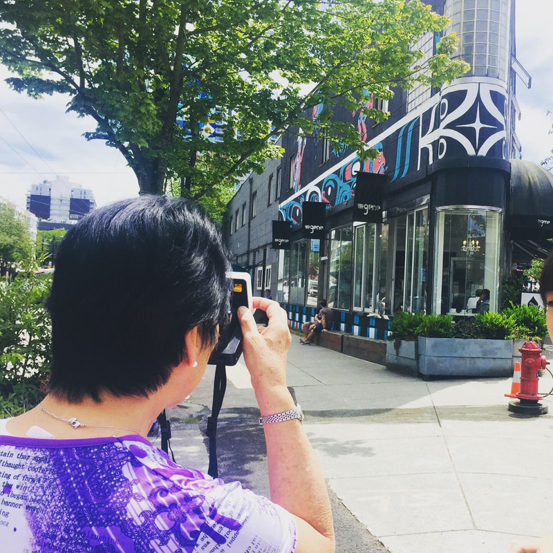 We had a small and lovely group of seniors join us for part two of Creative Neighbourhood Mapping! 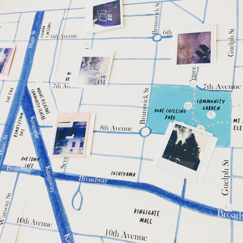 This workshop was a little more loosely structured, with time for chatting and story telling over tea as well as a short walk to document landmarks. 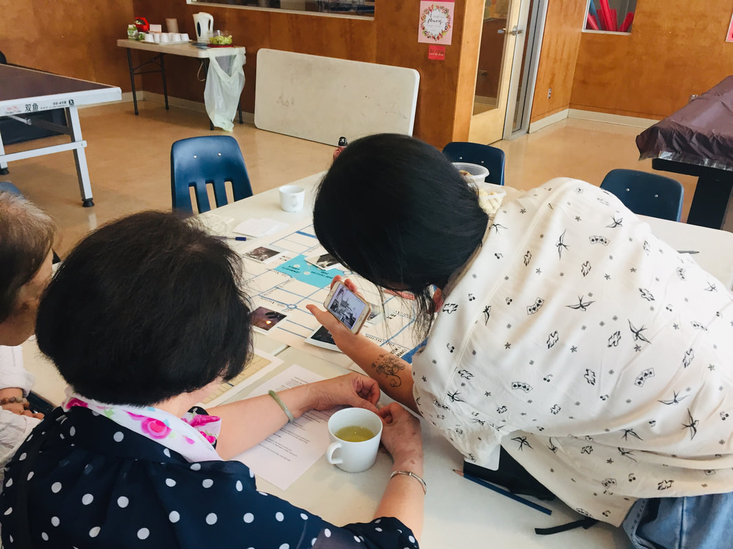 Themes of changes happening in Mt Pleasant surfaced during our conversation, including valued businesses that have closed and the transforming landscape of the neighbourhood with many new condos and high rises appearing. One participant told us about a historic beaver pond that once lay where a local coffee shop is now, which sparked conversation and speculation about the paths of Mt Pleasant's creekways and inspired us to look up some historical photos of the neighbourhood (such as the gem below from the Vancouver Archives). 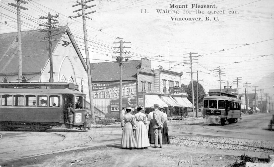 Westminster Avenue (Main Street) between 8th and 9th Avenues including Mount Pleasant Methodist Church, H.O. Lee Grocery and Mount Pleasant Pharmacy, 1908 We also added landmarks for bargain thrift stores, big dreams for a future skytrain station, memories of delicious lunches, among many others. Our collaborative map is beginning to fill up with landmarks!
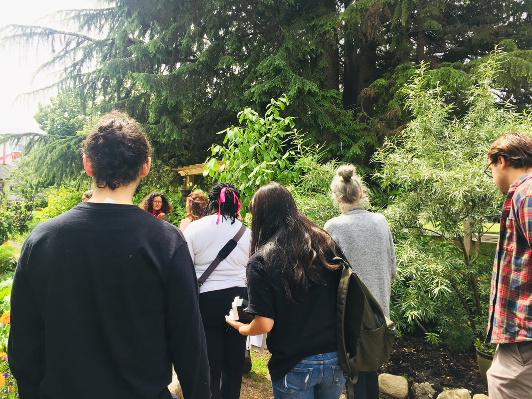 We had a great turn out for our first Creative Neighbourhood Mapping Workshop yesterday! We started at the community centre and discussed how each one of has our own unique perspective and experience of the local landscape: depending on our own personal histories, skill-sets, interests, and backgrounds, we notice different things in the world around us. For this workshop, we worked together to begin assembling a collaborative portrait of each of our experiences of the Mt Pleasant Neighbourhood.  We split up into small groups and went for exploration walks with the goal of choosing one or two landmarks each to bring back to the map. The choice of each landmark could be approached from a variety of angles: it could be a place we already knew or something just discovered, it could be a recommendation of somewhere to visit, a history of how a site has changed, or an idea for a future transformation. Once back at the centre, we added our landmarks to the collective map and planned the route for a walking tour of the locations we had all chosen. 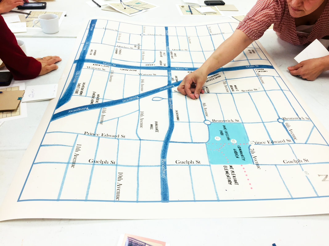 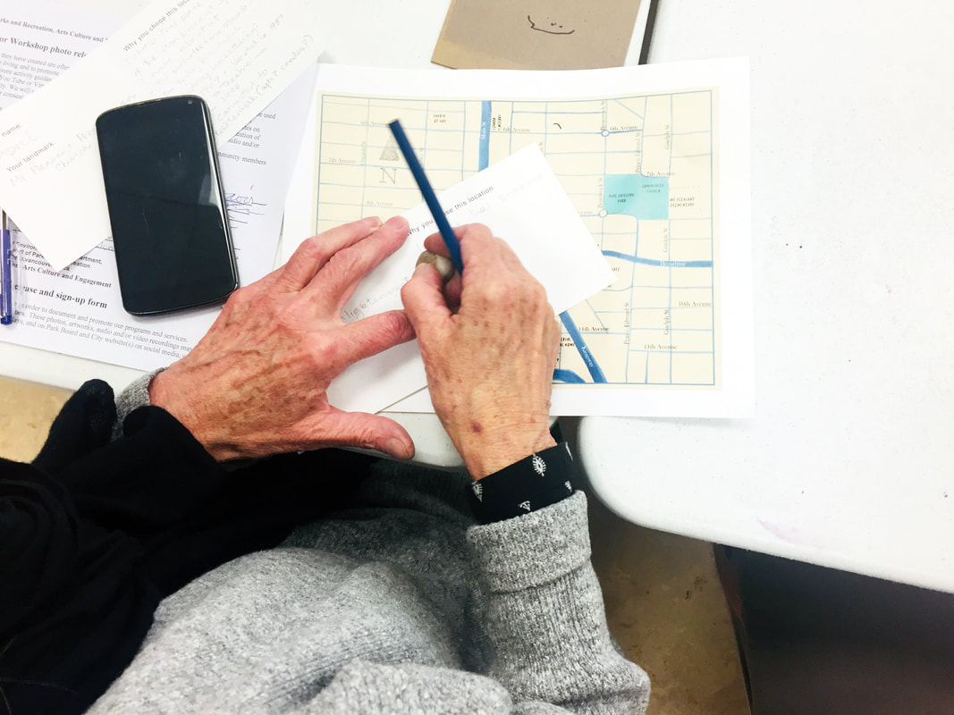 We set out walking all together, stopping by many of the landmarks we had chosen. Each participant took turns being our tour guide, introducing their landmark and explaining why they had chosen it. 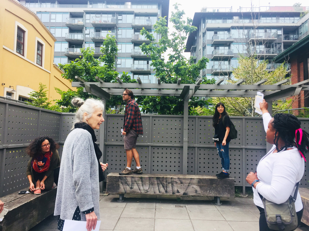 The landmarks were diverse and fascinating, including yarn bombing interventions, waterway shrines, secret back room cocktail bars, meaningful trees with medicinal properties, abandoned houses, hidden gardens, traces of a candy factory, and haphazard bird feeders, among many others. 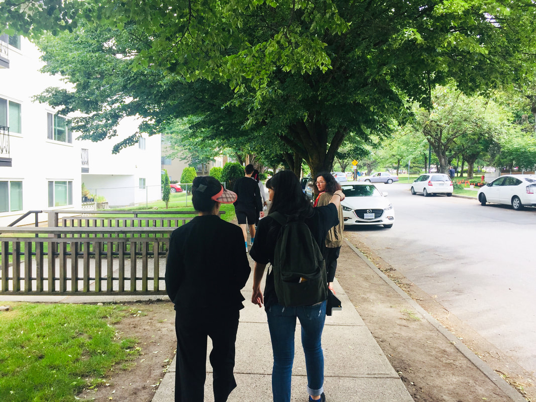 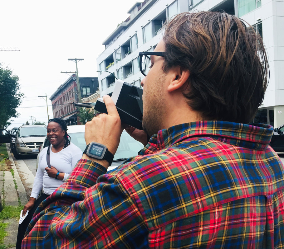 We used a Polaroid camera to document our landmarks. These photos, along with participant's written descriptions of the landmarks, will be compiled and exhibited on our growing map. Next up we have two mapping workshops, one for Seniors, and one for Youth, to continue to add to our collaborative map before it is displayed in the centre's lobby for the public to check out. 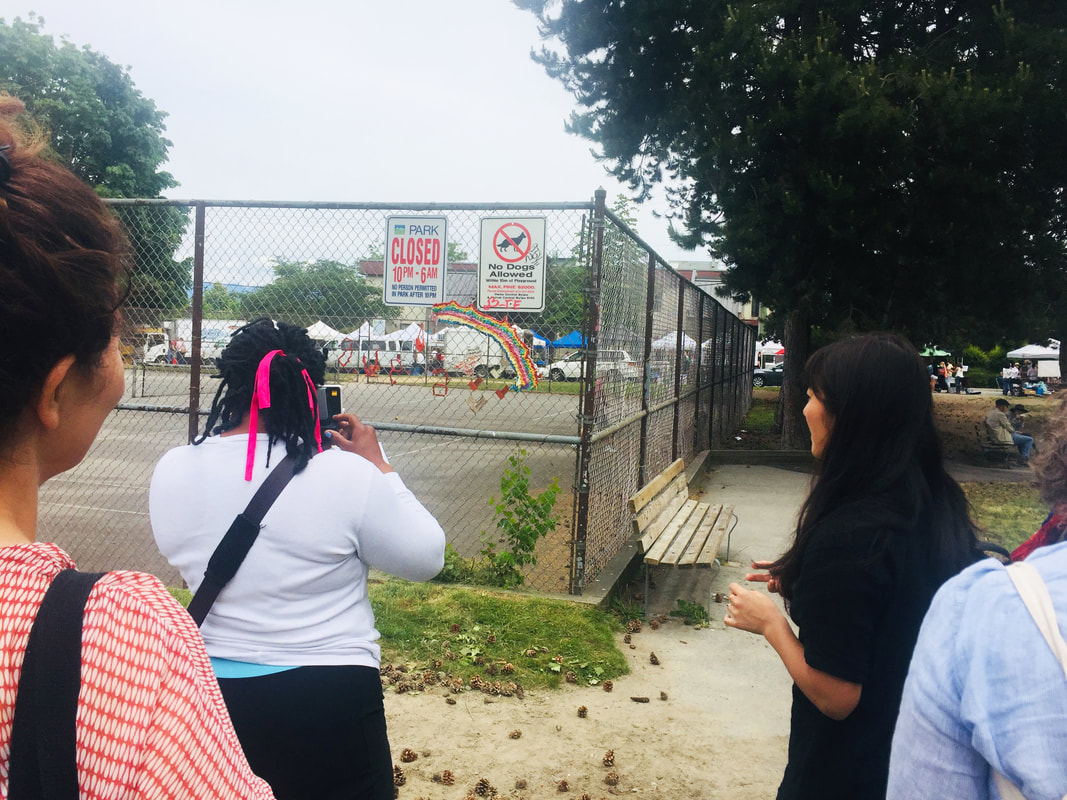 Thank you to everyone who came! It was an inspiring and exciting day. We can't wait to see how the map continues to evolve!  |
